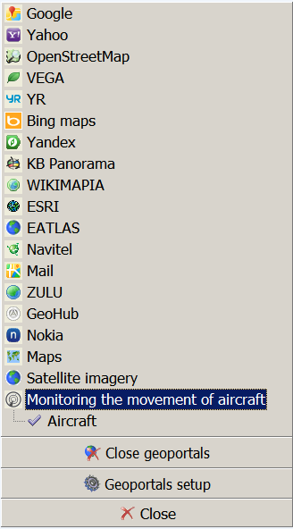
Aircraft |


|
|
Aircraft option is active and enabled automatically if there is data connected from the WFS service. GIS Panorama uses information from the Flightradar24 web service, which allows you to track the movement of aircraft in real time. For connection with the WFS service, you need to enable the Aircraft option (Main panel - Show geoportal list - Aircraft motion monitoring), set the optimal update period in seconds (Main panel - Options - redraw after) and enable the Update WMS layers.
Option Aircraft:
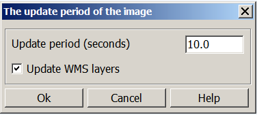
The update period of the image:
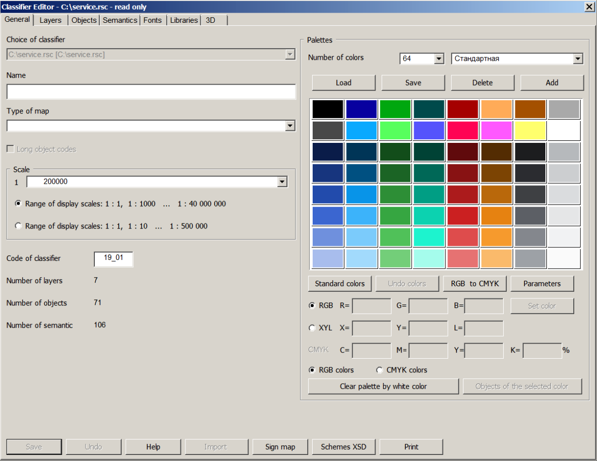
The values of height and coordinates obtained from this service are used when displaying a 3D model. For the three-dimensional display of aircrafts, the service.rsc classifier is used, which must meet the following requirements: - the service.rsc classifier and the service.p3d file must be located in the working directory; - classifier code should be not earlier than 19_01 (year and month of updating); - aircraft models must be customized in the classifier.
Classifier Editor:
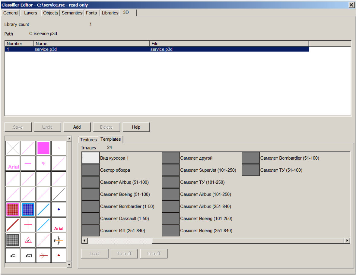
Classifier Editor. Aircrafts models:
|