Measurement of distances (construction of orthodrome) |


|
|
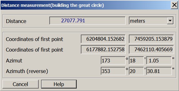
This mode allows you to measure distance between the points specified on a map. If the map projection allows the recalculation into geodetic coordinates, then the distance is calculated by a line of orthodrome, the azimuth in an initial and final point is determined. Orthodrome is an image on a map of the line connecting two points on a terrestrial surface by the shortest distance. Coordinates of points in current coordinate system and results of calculations are displayed in the dialog.
|