Export of matrix of heights into TIFF file |


|
|
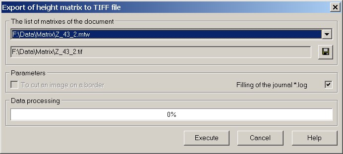
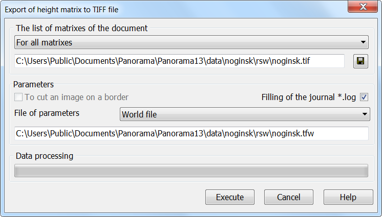
Control's element «Cut picture by frame» is accessible at export of matrixes of the heights limited by a frame. Control's element «Cut picture by frame» is intended for filling the area outside the frame of a matrix, by the value «no data». Value «no data» is stored in the tag GDAL_NODATA of TIFF file (tag code 42113). Control's element «Filling of the journal *.log» is intended to enable the mode of conducting the transactions log, in which the abnormal situations arising at import of a matrix of heights into TIFF file are recorded. To save all matrixes of the document in TIFF format files, select the line "For all matrixes" in the list.
After clicking on the Execute button, all heights matrixes of the document will be exported to TIFF files. TIFF files are created in the folder specified using the standard file name selection dialog launched by the button. The name of the output file is formed from the name of the original heights matrix with the addition of the extension ".tif". The mode is launched on the "Matrixes" bookmark of the "Data List" dialog box by the "Save as ... - TIFF" context menu item.
|