Add photos |


|
|
Execution order
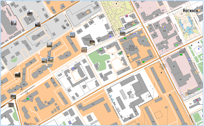
- Start the mode through the main menu File/Add/Photos. - Choose the path to the directory with photos. After execution of this mode to the open document the map containing point objects in the form of photos will be added. Into these objects the link to an initial file will be written. If this map with photos exists, before loading, the question will be asked: «Add the map?». When you click on the «Yes» button, new photos will be added to the existing photos of the map, otherwise - the existing photos of the map will be replaced with new photos. If photos have no coordinate tagging to the terrain they will not be added. An automatic clustering algorithm is used to group photos on a map when zooming.
|

