Map object scaling |


|
|
Properties of objects scaling
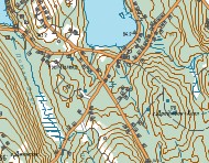
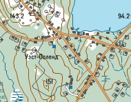
Scalability is the ability of objects to change the size of the symbol (line thickness, font height, etc.) when the map image is increased. If the object's scalability flag is not set, then when the map image is increased, the size of the conventional symbol remains constant. When the map is compressed, the size of the symbol is decreased regardless of the flag of scalability. There are exceptions to this rule. If the "No press" flag is set in the description of the conventional symbol, then the symbol does not decrease when the map is reduced. If the "Stretch" flag is set for a vector symbol or title, then the size of the symbol (title height) is proportional to the distance between two points of the object's metric. Accordingly, when the map is scaled, the size of the symbol changes in direct proportion. The scalability flag is recommended for displaying real terrain objects, the size of which cannot be shown in the map scale (road width, building size, etc.). For auxiliary objects (lines of a kilometer grid, contours, indicators of current direction, etc.), the use of scalability is not advisable. Vector symbols and titles tend to look better when the scalability flag is set.
Modes of objects scaling
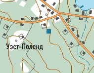
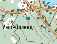
Scaling of map objects can be performed in the "Cartographical" or "Drafting" modes. Cartographical scaling improves the readability of the map. When the map is enlarged relative to the base scale, the increase in some sizes (line thickness, font height, sizes of vector signs) of objects is performed with a lag: kObjectScale = 1 + (kMapScale-1)/2, where kObjectScale - factor of increasing the object size, kMapScale - factor of increasing a map. For example, when the map is zoomed in 2 times (kMapScale), the size of the object increases in 1.5 times (kObjectScale). When the map is decreased, the size of the object is reduced proportionally (kObjectScale = kMapScale). At drafting scaling of the image the sign scale is equal to the map scale, both at increasing and decreasing the map. The map image in each scale changes proportionally and approximately corresponds to the map image on the print.
To improve the readability of the map, in addition to scaling, object scale range is applied. |