Transform vector map |


|
|
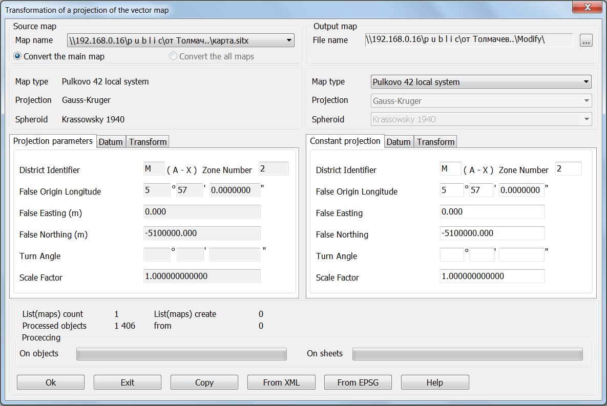
The task of transforming the projection of a vector map can change the map projection, projection parameters, ellipsoid and datum. For example, you can change the zone of topographic map, to move from the coordinate system in 1963 to coordinate system of 42 year. The task allows us to pass from the coordinate system of topographic map in 1995 to survey-geographical map of the Mercator projection on the spheroid WGS84, and so on. Dialog of task consists of 2 parts. In the left part the source parameters of the projection of a vector map are displayed. If the projection parameters are not installed or not fully entered, then the task can not be executed. On the right part initially the same parameters of the projection map are displayed. You can change individual values or enter a completely new ones. Use the Copy button you can copy the settings from an existing map projections, raster or matrix.
Map in the new projection will be placed in the folder specified by the user in the Output map field. All files names of map remain unchanged. If you open the document, contained several maps, then at once all maps can be transformed. To do this, select the field Convert the all maps. After selecting the required values, you must click Ok button. After the completion of transforming the new map will be automatically opened in a new window. |