General information |


|
|
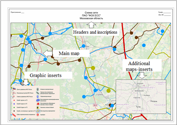
The report designer contains tools of formation and preparation for the publication of maps-schemes and reports. Maps-schemes are created by the service digital classifier which contains the objects necessary for forming the elements of a map-scheme decorating. The list of main elements of designing a map-scheme includes: - maps insertions; - image inserts; - headers and inscriptions; - additional objects of decorating: lines, polygons, signs (logos, direction indicators to the north, icons of linear scale, etc.).
Layout example for a sheet of a map-scheme of format A3:
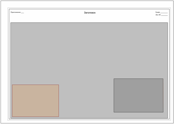
At formation of maps-schemes, pre-prepared maps-templates can be used. Ready maps-schemes can be used as templates for formation of similar maps-schemes. Preliminarily, a set of templates can be created in accordance with the expected formats of the created schemes (page sizes and orientations). For convenience of subsequent use of templates, samples of headers, templates of inserts of maps and graphic documents can be put on them.
Example of a template of a landscape map layout of format А3:
For display on a map-scheme of the main background map, as well as additional maps-inserts the object of the classifier «Map Insertion» is used. The insertion of the main and additional maps is performed as part of pre-formed map projects (MPT). Map projects are generated using GIS Panorama tools. Vector and raster maps, DEMs, external geoportals, as well as data located on GIS servers can be included into the map project. For display of graphic objects (drawings), the classifier object the «Image Insertion» is used. The same classifier object can be used to insert maps and insert images. The use of classifier objects for forming insets and inserts is defined in the dialog box for setting general parameters. Tables, diagrammes, texts, graphs and other objects of external applications are pre-exported to a format of graphic files (JPG, PNG) by tools of corresponding applications and are embedded into a map-scheme in the form of graphic objects. Editing the location and sizes of the insertions of maps and image inserts is performed by tools of GIS Panorama Map Editor. Reassignment of files for inserts and inserts, as well as centering and scaling of maps on inserts is performed by means of the «Edit Insert» mode of the Report Designer. Drawing and editing of headers, inscriptions and additional decor elements is carried out by means of the GIS Panorama Map Editor. Report Designer is an application that is activated as a standalone application from the list of application tasks. The report designer has its own toolbar, located in the lower separate part of the GIS working window. The toolbar contains the following modes:
|